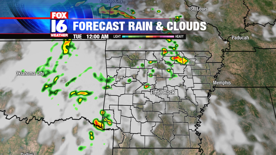
LITTLE ROCK, Ark. – 10 PM MONDAY UPDATE – Isolated severe storms remain possible late tonight as storms move from south Arkansas to central and north Arkansas.
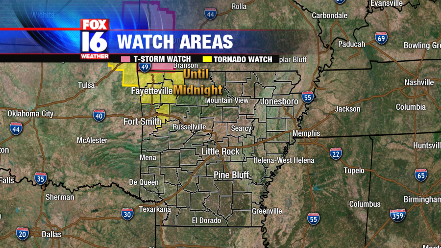
Several counties have been dropped from the Tornado Watch that was previously issued for west central and northwest Arkansas on Monday night. As of 10 p.m, the only counties that remain under the watch are in northwest Arkansas.
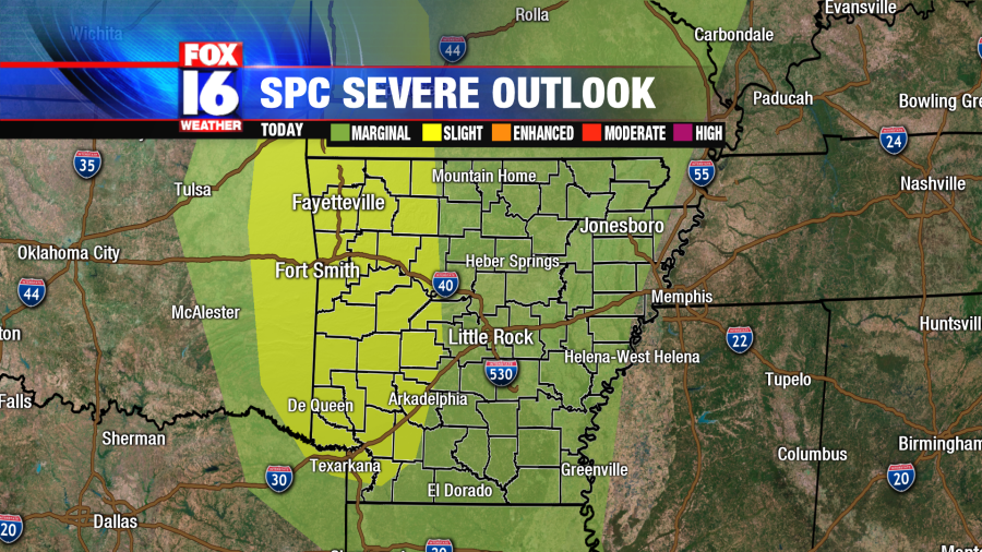
The Storm Prediction Center has issued a SLIGHT RISK (15%) for isolated severe storms in west Arkansas today. A MARGINAL RISK (5%) has been issued for the rest of the state. While most storms won’t reach severe parameters, there is a chance that a few could.
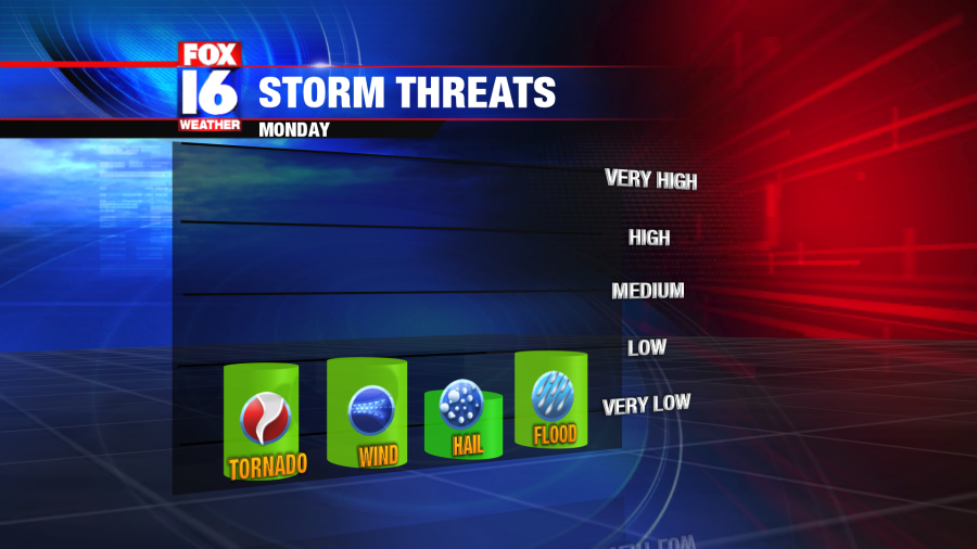
The severe weather threat is low but not zero. Strong winds and heavy rain will likely accompany the storms that turn strong and/or severe. We may see flash flooding in areas of thunderstorm downpours, too. The system that will be coming into the state Monday also has potential to spark formation of a brief, spin-up tornado, with the highest threat to our west. Some hail in stronger storms that may develop is also possible.
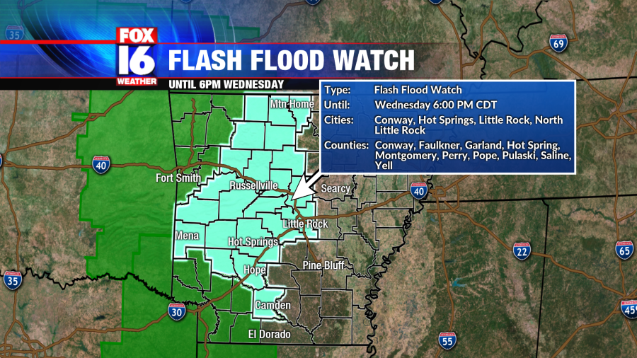
A Flash Flood Watch lasts through Wednesday evening. Anywhere from one to three inches of rainfall are possible over the western half of the state, with higher amounts over the Ouachitas and Ozarks. River levels will rise more and run-off is likely with the brief, heavy downpours. Do not cross standing water if you come across rained out roadways.
The system that will be moving into the state of Arkansas Monday afternoon is called a Mesoscale Convective Vortex (MCV). It’s essentially a smaller area of low pressure that will cause winds to flow in a circular motion. The MCV will spin its way quickly across parts of the deep south, moving northeast into the Natural State. Due to the nature of its motion, both internally and directionally, tornado formation is not out of the question.

The Arkansas Storm Team will be watching the development and progression of storms throughout the day. Download the AST Weather App to your mobile devices to receive weather alerts and have access to the radar wherever you are.


